& Construction

Integrated BIM tools, including Revit, AutoCAD, and Civil 3D
& Manufacturing

Professional CAD/CAM tools built on Inventor and AutoCAD
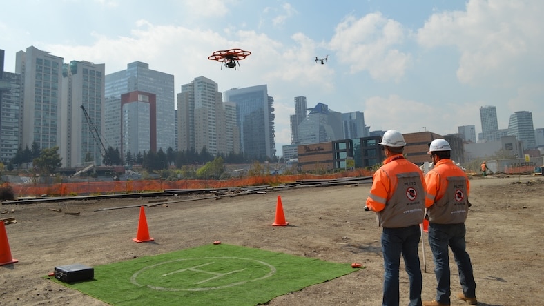
Drone surveying is a technique that employs unmanned aerial vehicles (drones) equipped with sensors, cameras, and GPS to gather data and create more precise maps, models, and 3D earth representations. Also known as UAV (unmanned aerial vehicle) surveys, drone surveys have a wide range of applications.
Drone surveying can benefit many industries by efficiently gathering precise aerial data.
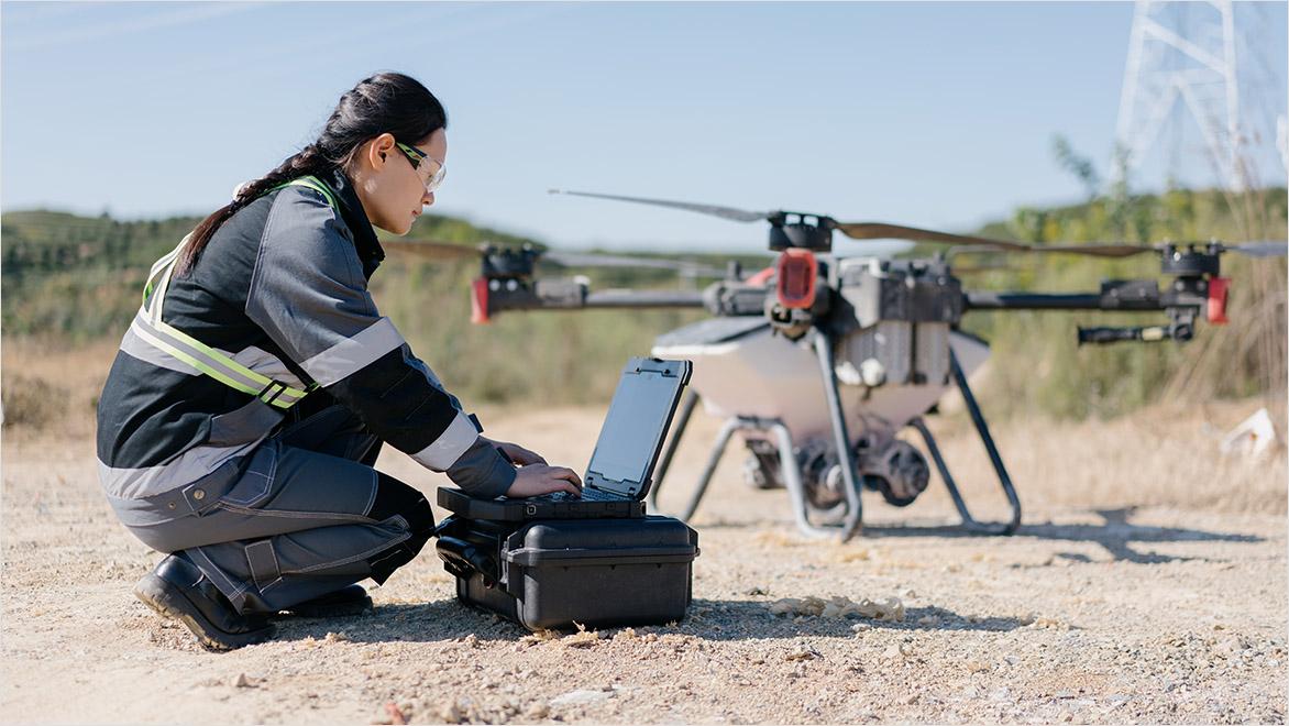
Drone surveying can aid construction and renovation by capturing existing conditions safely and efficiently.
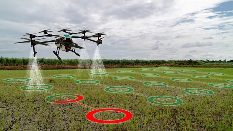
Drones can monitor crops, estimate yields, detect diseases, and optimize irrigation.
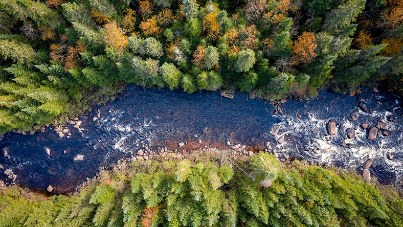
Drone topographic surveys can monitor wildlife habitats, track ecosystem changes, and assess the environment.
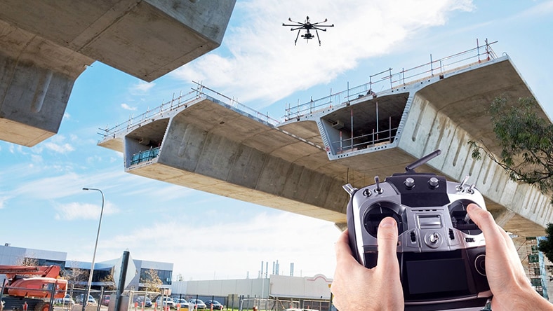
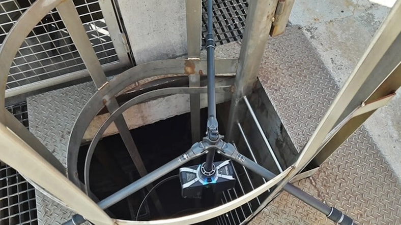
Drone surveying provides a safe method for inspecting critical infrastructure such as bridges and pipelines.
There are several reasons why drone surveying may be preferable to surveys that use planes or satellites. Firstly, drones can fly much closer to the ground than satellites or planes, which allows them to capture more detailed imagery and information. Cost is also a significant factor, with a UAV survey generally costing a fraction of a survey via manned aircraft. Finally, because drone land surveying is less susceptible to cloud cover and other negative weather conditions, it can be carried out even when planes or satellites might not be suitable.
Here’s how the drone data collection process works:
Drone land surveying can cover large areas in a short time, reducing the need for manual labor, equipment, and time-intensive processes, resulting in significant cost savings.
Equipped with advanced GPS and sensor technology, drones can provide highly accurate and detailed data, leading to precise maps, models, and measurements.
UAV surveys eliminate the need for surveyors to physically access hazardous or difficult-to-reach areas, improving worker safety and minimizing risk.
Drones can carry various types of cameras, with sensors collecting data adapted for different applications.
Drone surveys can access locations that are challenging for humans to reach, such as elevated structures or inaccessible and dangerous terrain.
Powerful BIM and CAD tools for designers, engineers, and contractors, including Revit, AutoCAD, Civil 3D, Forma Site Design, and more
Cadastral surveying is used to establish and record property boundaries and has important legal ramifications. Cadastral surveys are important for establishing property rights and solving land disputes. Drone land surveying is a fast and cost-effective way to carry out these surveys, particularly in the case of large parcels of land or those with terrain and features that might otherwise be difficult to access by cadastral surveyors. In a short amount of time, drones can feed detailed topographic data to drone land surveying software that can be used in public and legal records.
CONSORCIO IUYET
A civil engineering services firm uses drone surveying and the Autodesk AEC collection to build a safe train on difficult terrain.
Image courtesy of Consorcio IUYET
ATFF
A French reality capture firm deploys drones to survey Europe’s most challenging locations.
Image courtesy of ATFF
WASKITA KARYA
A state-owned construction firm transitions from 2D to 5D with drone surveying and Autodesk Civil 3D and Revit.
Image courtesy of Waskita
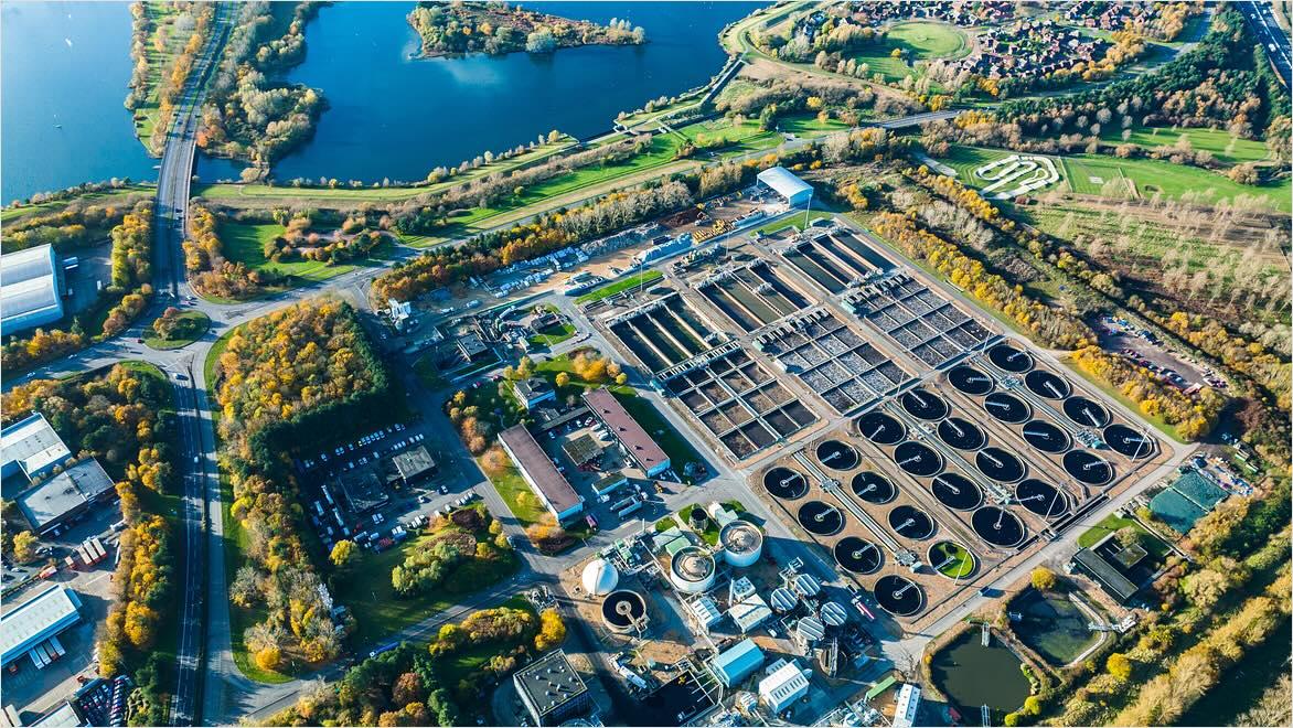
Cities are living, breathing entities packed with usable data for urban planners and designers. To access that data, you often need a view from above, and that’s where drone surveying comes in. By using relatively affordable UAVs in conjunction with drone survey software, urban planners can make informed decisions on matters that will affect everyday lives in a community. Depending on what information is pertinent, survey drones can be fitted with different sensors to monitor air quality, noise levels, or other data to understand what’s needed in urban spaces.
Discover how contractor Rogers-O’Brien used drone technology to investigate and solve a client drainage issue.
Explore a new wave of digital preservation guarding valuable history from accidents, climate change, and deterioration.
See how France preserves precious landmarks and prepares for future restorations with 3D technology.
UAV survey drones equipped with sensors such as RGB cameras, multispectral cameras, thermal cameras, and LiDAR sensors collect data by flying over designated areas according to predetermined flight paths. These sensors capture images, thermal data, or laser pulses that bounce off surfaces. Data is collected through multiple images taken from different angles, ensuring overlap for more accurate mapping. After the flight, collected data is processed using specialized drone survey software to create orthomosaic maps, 3D models, and elevation maps.
The accuracy of drone land surveying varies based on the drone’s type, sensor quality, flight planning, and post-processing methods. Drone surveying can achieve horizontal accuracies from centimeters to decimeters and similar vertical accuracies, depending on factors such as GPS technology and ground control points. Different sensor types like RGB cameras, multispectral cameras, and LiDAR offer varying levels of accuracy, with LiDAR often providing sub-centimeter accuracy. Factors including ground control points, post-processing quality, surveying methodology, environmental conditions, and equipment quality influence accuracy.
Drone surveying holds distinct advantages over traditional methods. It excels in efficiency, swiftly covering expansive areas and significantly reducing costs and project timelines. The accuracy, facilitated by advanced sensors and GPS, rivals or surpasses traditional methods. Safety is heightened when drones can access hazardous or remote areas remotely (such as in drone roof inspections), while real-time monitoring aids quick decision-making. The versatility of drone topographic surveys, accommodating various sensors and applications, adds to their appeal. With minimized environmental disruption, data visualization clarity, and seamless integration, drone surveying is an innovative tool that offers flexibility in challenging terrains, quick deployment, and comprehensive project documentation, making it a transformative technology across diverse industries.
Drone surveying enhances efficiency, accuracy, and safety in many sectors, transforming how data is collected, analyzed, and applied. Drone surveying has diverse applications across many industries, including:
